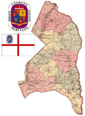
(map from Maryland State Archives)
1680
- Maryland colonists complain that, "their supply of provisions becoming exhausted, it was necessary for them, in order to keep from starvation, to eat the oysters taken from along their shores."
1696
- The Maryland colony establishes Prince George's County, named for Prince George of Denmark.
- Citizens choose land near streams to provide a source of water for crops, but bad farming practices cause heavy sedimentation in streams. Native Piscataway Indians leave the area because they can no longer hunt and fish freely.
1741
- When Lawrence Washington, Virginia planter and owner of a Potomac River plantation called Green Mountain, is decorated for military valor by Admiral Vernon, he renames his plantation Mount Vernon.
1750
- The town of Bladensburg (named for the newly elected Maryland governor, Thomas Bladen) is established on the Anacostia River as a delivery point for supplies because heavy sedimentation has made the river unnavigable one half mile upstream, at the settlement of Beall Town.
1751
- Georgetown is founded on the Maryland shore of the Potomac River. The new port is named in honor of King George II.